A high-resolution aerial photo showing a drone capturing detailed images over a construction site.

Gallery

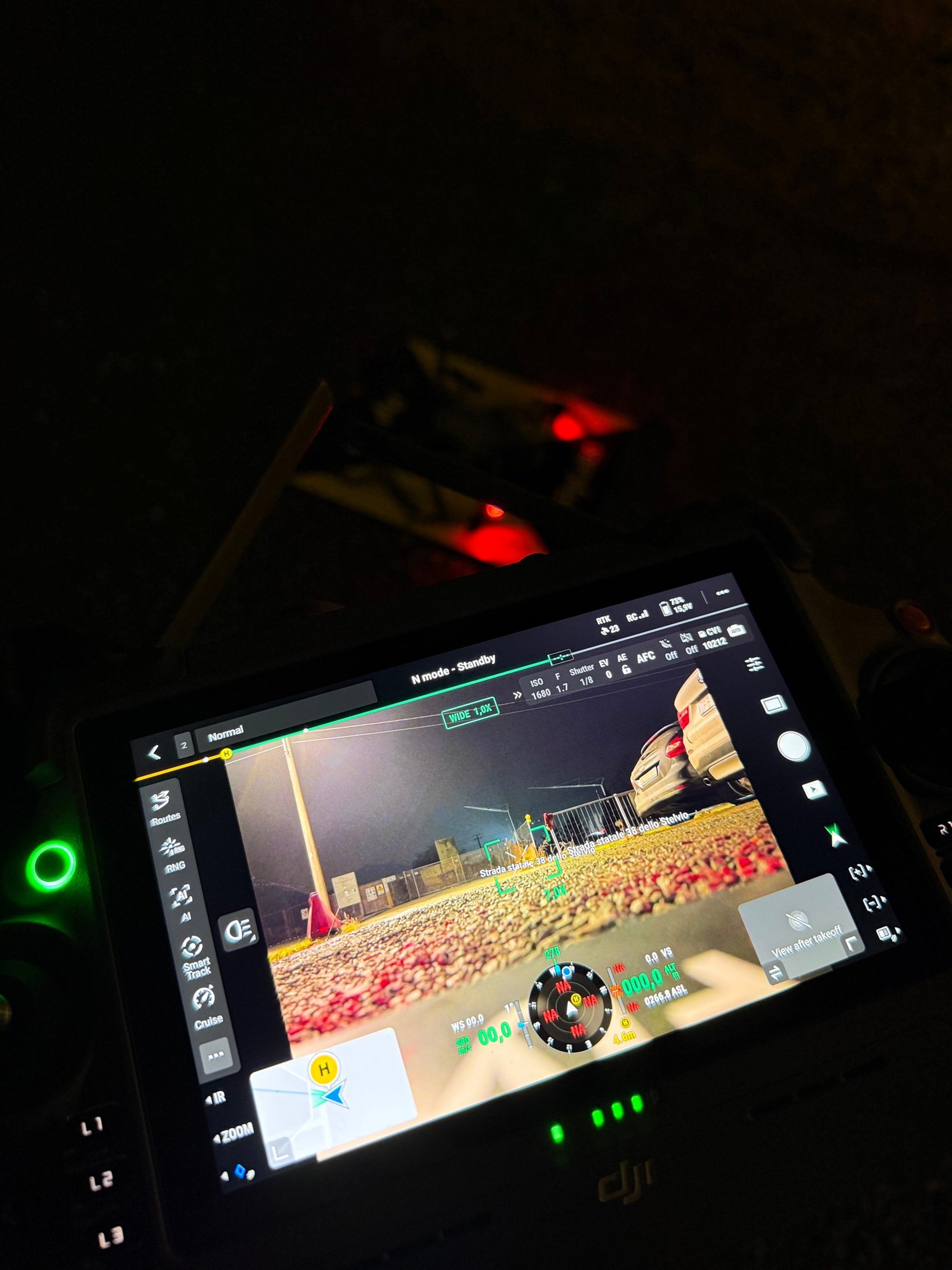
Immagini reali dei nostri droni in azione sul territorio

Drone performing a thermal inspection over industrial infrastructure at sunset.
Close-up of a drone equipped with photogrammetry sensors flying above a rugged landscape.
Operator controlling a drone remotely with a tablet, monitoring real-time data during a survey.

Chi siamo in flylabs

Flylabs unisce tecnologia drone e competenza territoriale per offrire dati precisi e affidabili alle aziende e agli enti pubblici.

A professional drone flying over a construction site capturing aerial images.
I nostri servizi
Il nostro impegno

Garantiamo sicurezza e rapidità seguendo normative ENAC ed EASA, trasformando immagini in dati utili per decisioni efficaci.